
.......mapping your world Clarity, insight and confidence for organisations that depend on place
.......mapping your worldClarity, insight and confidence for organisations that depend on place

Geospatial Strategy Challenges
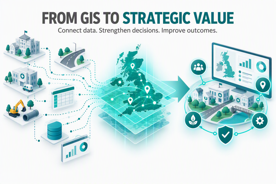
The technology may already be in place. The strategy might not be.

Most local authorities, NHS organisations, housing providers and government bodies have invested in GIS technology, data and specialist capability. Far fewer have agreed how location intelligence should support organisational priorities, guide investment and improve outcomes.


Without that direction, geospatial activity often develops in isolation: one department commissions a dataset, another creates a dashboard and another implements a new application. Each decision may be justified, but together they can create duplicated investment, inconsistent data ownership, poorly integrated systems and fragile specialist knowledge.

The risks are organisational—not merely technical

Disconnected information

Operational, asset, customer and service data remains trapped in separate systems, spreadsheets and reports.

Late involvement

Location intelligence is considered only after decisions about architecture, integration, reporting and ownership have been made.

Unclear value

The organisation continues to fund GIS but cannot consistently demonstrate its contribution to priorities, efficiencies or outcomes.

What a geospatial strategy should provide

A geospatial strategy is an agreed plan for using location-based data, technology, governance and skills to support organisational priorities. It should establish:

Clear outcomes and organisational priorities

Accountable ownership and data governance

A realistic investment and delivery roadmap

Integration across systems and departments

Resilient internal skills and capacity

Evidence of value and measurable success

The Leadership Questions

Do we have an agreed geospatial strategy, with accountable ownership, that aligns data, technology, governance and capability with our organisational goals?

If the answer is uncertain, your organisation may be carrying avoidable risk and may be missing opportunities to improve planning, investment, service delivery and operational decision-making.

How mature is your organisation’s use of location intelligence?

The full geospatial strategy guide includes a practical ten-question maturity assessment covering strategy, governance, integration, senior decision-making, resilience, investment planning and measurable value.

Turn insight into practical action

WeGetGEO helps public sector organisations connect geospatial capability with the outcomes they need to deliver. Our independent, practical support can help you strengthen governance, create a clear roadmap, supplement internal capacity and gain more value from existing technology and data.

Start with the issue — not another technology purchase

An initial conversation can help clarify the challenge, identify the right stakeholders and determine whether a focused health check, maturity assessment or strategy workshop would provide the greatest immediate value.

Print | Sitemap
© WeGetGEO Limited 2026. All rights reserved.