

Geospatial insight that solves real problems

Every organisation we work with faces a similar challenge: fragmented data, unclear boundaries, outdated tools or limited visibility of the places they serve.
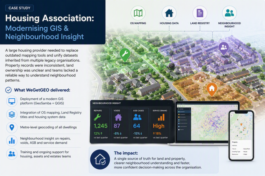
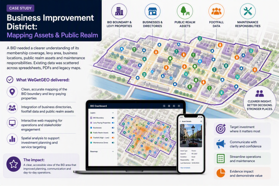
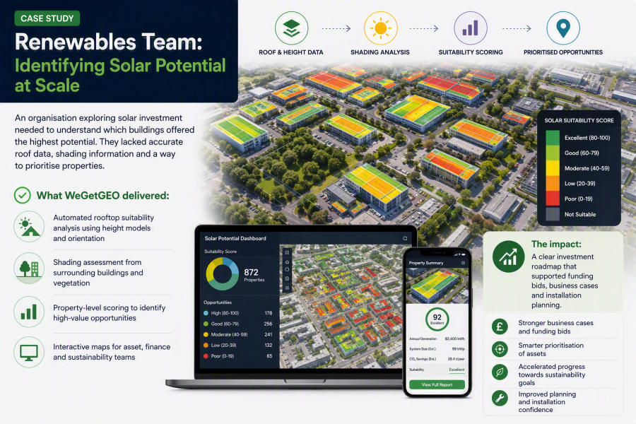
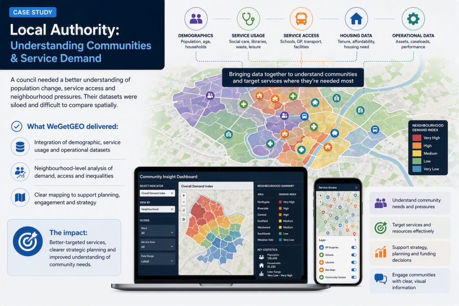
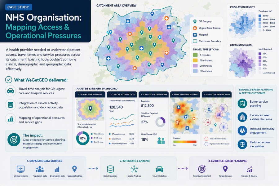
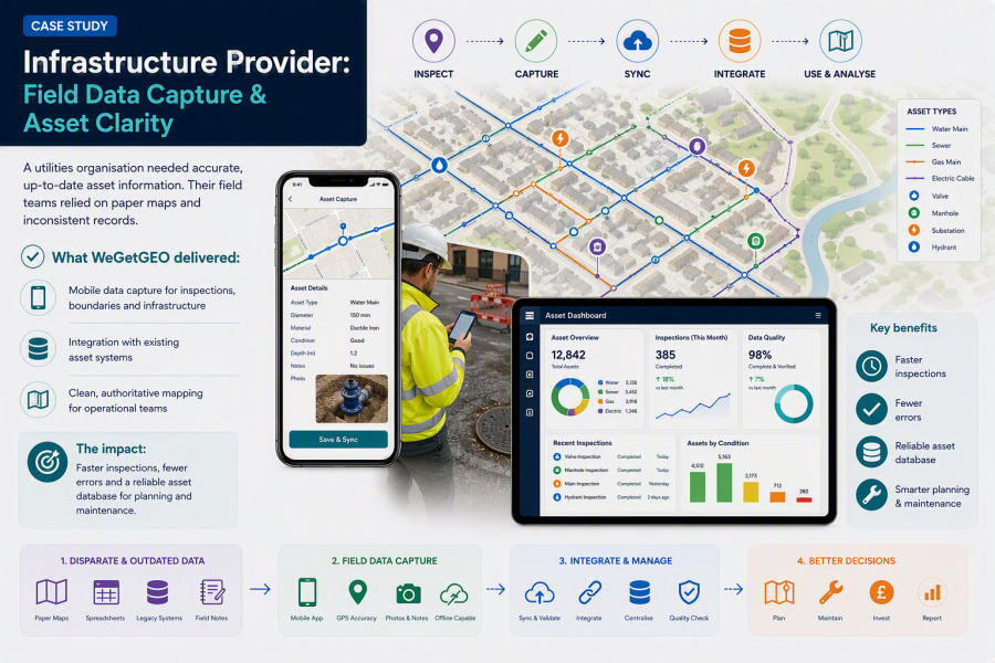
Our case studies show how modern geospatial platforms, clean datasets and practical analysis help teams make better decisions — whether they manage homes, public spaces or renewable assets.
Below are examples inspired by the real outcomes we deliver across the UK.
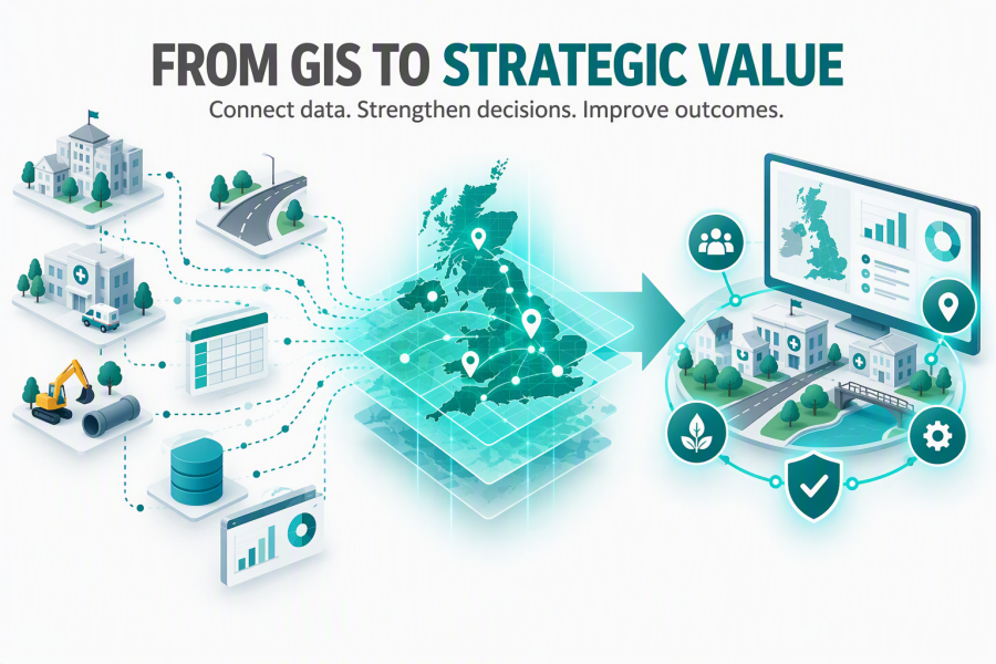
WeGetGEO helps organisations answer their important questions such as:
- Where should we prioritise investment?
- Which communities are most in need?
- How accessible are our services?
- Where are assets at greatest risk?
- Are we getting value from our GIS investment?
- How can we bring location intelligence into everyday senior level decision-making?
 Print