Welcome to WeGetGEO

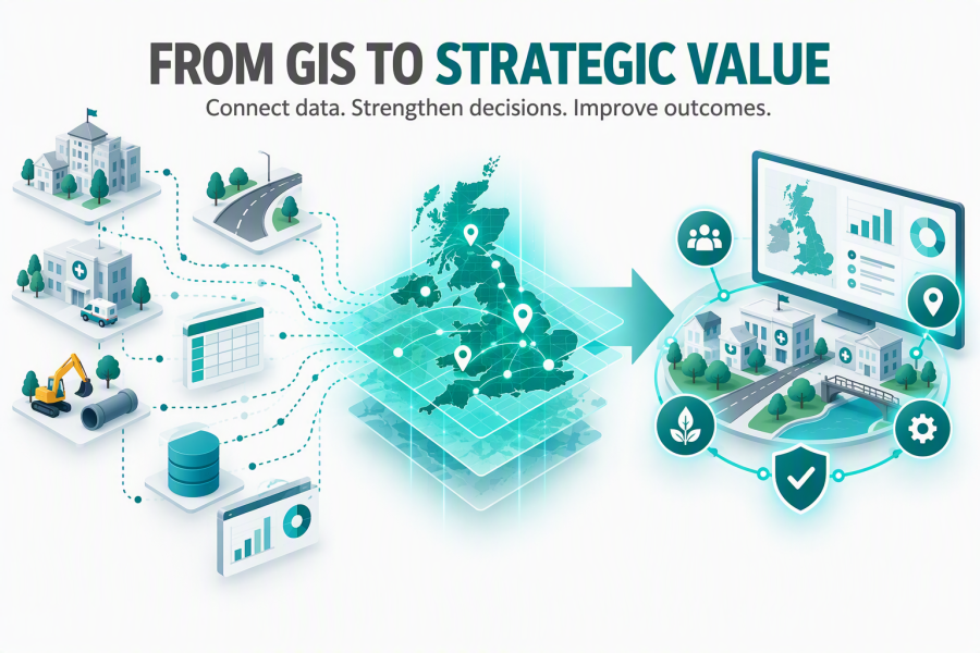
By using the power of maps WeGetGEO can help you better understand your data and improve your decisions.


WeGetGEO can help you see your data in new ways, understand new relationships in your information and most importantly bring greater value to your organisation and ultimately your customers.

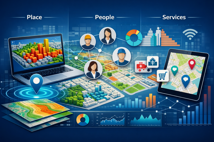
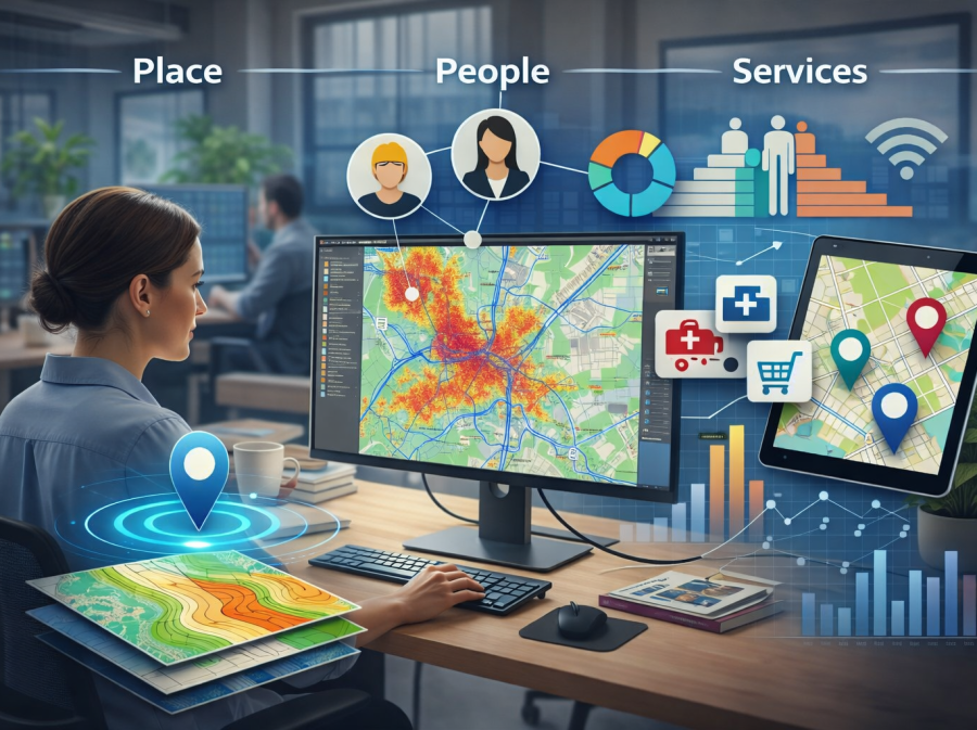
WeGetGEO supports a range of clients including those focused on housing, health, local authorities and community‑focused organisations that rely on understanding place, people and services. We bring together trusted data, modern GIS platforms and clear analysis to help you make confident, evidence‑based decisions.


Please Contact Us to discuss how WeGetGEO can help your organisation.

Why organisations choose us

Decades of experience

The team bring over 40 years of combined geospatial and analytical experience, grounded in real‑world delivery and practical problem‑solving.

People-focused insight

We translate complex data into clear, accessible insight that teams can actually use — not just admire.

Independent and trusted

We’re not tied to any vendor. Our advice is honest, pragmatic and focused entirely on your organisation’s needs.

What products and services we offer

WeGetGEO can provide your organisation with a range of products and services to ensure a successful outcome:

Services

End‑to‑end geospatial support including implementation, training and analysis.


Why this matters: It gives your teams the insight they need to make confident decisions.

Mapping Data

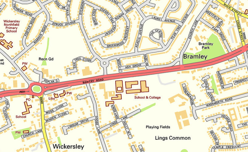
Premium Ordnance Survey datasets and environmental data delivered for the areas and in the formats you need.


Why this matters: We provide reliable and definitive base data which is the foundation for every good decision.

Software

Access to industry‑standard GIS software technologies, including desktop and web-based apps with WeGetGEO’s technical expertise and support.


Distributor for the award winning GeoSamba, a cost effective web-based mapping application.


Why this matters: The right tools make insight faster, clearer and easier to share. 

Case Studies

Real‑world examples of how organisations use geospatial insight to improve services.


Why this matters: You can see exactly how our work supports teams like yours.


Housing associations benefit from greater insight of their properties, neighbourhoods and tenants.


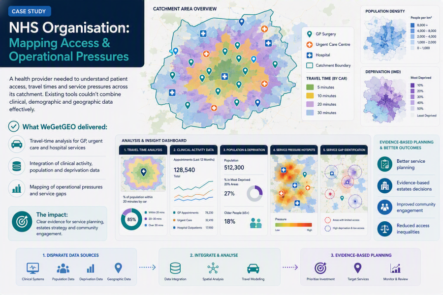
Health organisations improve service access and manage health inequalities.

Ready to explore what's possible with your data?

Print | Sitemap
© WeGetGEO Limited 2026. All rights reserved.