.......mapping your world Clarity, insight and confidence for organisations that depend on place
.......mapping your worldClarity, insight and confidence for organisations that depend on place

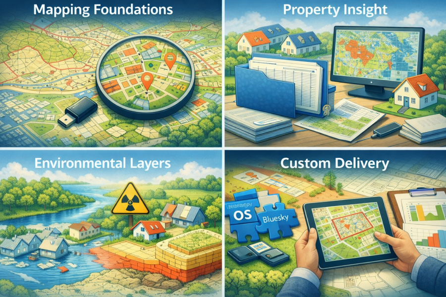
What we offer

How we help

We don’t just supply data — we help you make sense of it. Our support includes:


  • Choosing the right datasets for your needs
  • Preparing data for analysis or integration
  • Explaining OS licensing in plain English
  • Helping teams understand and use mapping effectively
  • Combining OS data with your own datasets for deeper insight
Who uses our mapping data

We supply mapping data to organisations that rely on understanding place, people and services, including:


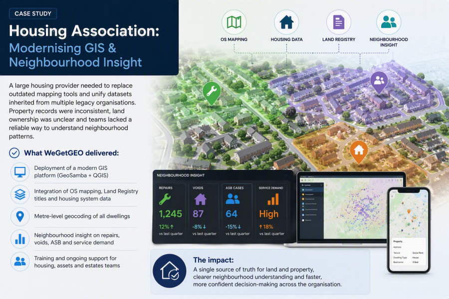
  • Housing associations
  • NHS and regional health organisations
  • Local authorities
  • Private organisations with asset or customer insight needs

Why choose WeGetGEO?

Flexible supply

Any area, multiple formats, custom extracts — ready for immediate use.

Beginner friendly support

Clear explanations, practical guidance and help choosing the right datasets.

Works with your GIS

Fully compatible with QGIS, MapInfo, ArcGIS, CadCorp and more.

Competitive pricing

Fair, transparent pricing across OS premium and OS OpenData products.

Making data easy to use

Good decisions rely on good data. Whether you're planning services, managing estates or analysing communities, accurate mapping is the foundation for meaningful insight.


Whether you're new to GIS or already running a mature mapping environment, WeGetGEO supplies high‑quality Ordnance Survey datasets in the formats, projections and extents you need. We help you understand what each dataset offers, how it supports your work, and how to get the best value from your licensing.


If you're unsure which products are right for your project, just ask — we’ll guide you through the options.

Core products we supply

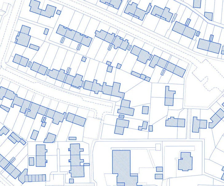
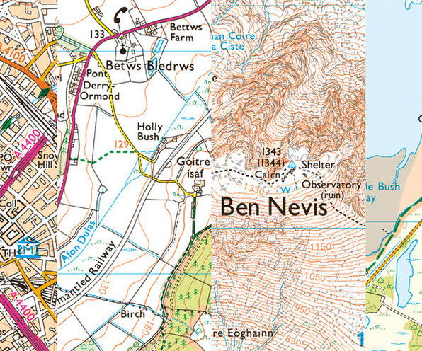
OS MasterMap Topography Layer

The most detailed and current map of Great Britain — ideal for estates management, neighbourhood analysis and asset planning.


We supply exactly the areas and layers you need, in your preferred format.

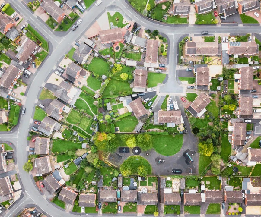
OS MasterMap Imagery Layer

High‑quality aerial photography for confident decision‑making. Monitor features directly from your desktop and reduce site visits.


Available as perpetual licences or annually maintained updates.

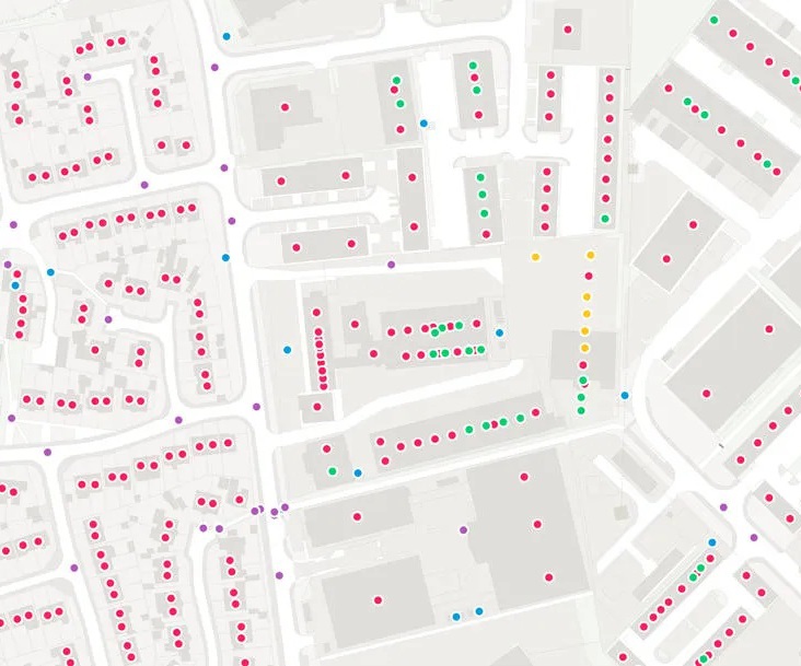
OS AddressBase Family

Accurate, authoritative addressing matched to UPRNs available at a level to meet business needs -AddressBase Core, Plus or Premium.


Supports property identification, service delivery and postcode‑level analysis.

Custom extracts and licensing support

We provide data in the formats, projections and extents you need — ready for immediate use.


We help you navigate OS licensing so you stay compliant without the complexity.

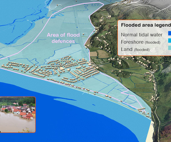
Environmental and Land Registry data

We provide data in the formats, projections and extents you need — ready for immediate use.

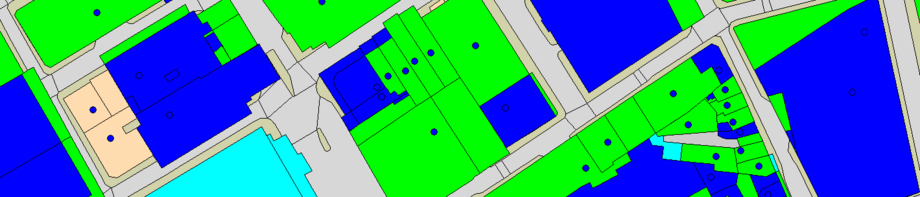
  • Land Registry areas — legal boundaries and registered ownership areas including additional attribution (sale information and property types) as known by the Land Registry
  • Flood risk — from rivers, sea, ground and surface water sources
  • Tree related data — tree location and canopies for potential shade coverage of property roofing and solar panels
  • Radon Gas — detailed property‑level radon potential
  • Coal Mining Areas — ground stability from subsidence and mining risks

Additional OS Datasets and OpenData Products

  • OS VectorMap Local — detailed street‑level backdrop mapping in raster or vector formats.
  • Colour Raster Series — 1:25k, 1:50k and 1:250k mapping for apps, publications and analysis.
  • OS Terrain 5 — high‑accuracy terrain modelling for planning and analysis.
  • Points of Interest — national directory of public and private services.
  • Code‑Point or Code‑Point with Polygons — postcode locations and boundaries for customer insight and analysis.
  • OpenData - available in an easy to use drop and go format - Boundary-Line, OS VectorMap District, Code-Point Open, Meridian 2, MiniScale, OS Street View

Need help choosing the right mapping data?

Book a consultation and we’ll guide you through the options.

Print | Sitemap
© WeGetGEO Limited 2026. All rights reserved.