
Software
Powerful software tools including GeoSamba to support your workflows. We help organisations understand their software stack — to deliver automated solutions with a focus on real‑world impact.
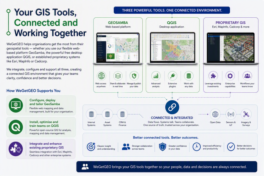
Your GIS tools, connected and working together
WeGetGEO helps organisations get the most from their geospatial tools — whether you use our flexible web‑based platform GeoSamba, the powerful free desktop application QGIS, or established proprietary systems like Esri, MapInfo or Cadcorp.
We integrate, configure and support all three, creating a connected GIS environment that gives your teams clarity, confidence and better decisions.
How WeGetGEO supports you:
- Configure, deploy and tailor GeoSamba
- Install, optimise and train teams on QGIS
- Integrate and enhance existing proprietary GIS
Together, these tools form a connected, efficient geospatial environment that supports confident decisions.
 Print
Print