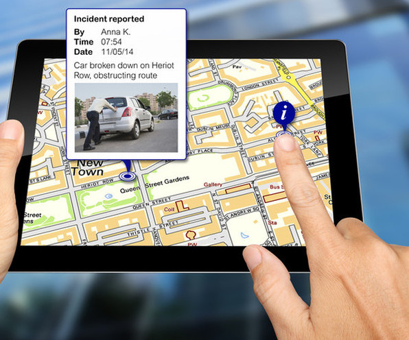
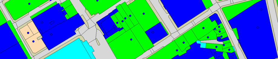
.......mapping your world Clarity, insight and confidence for organisations that depend on place
.......mapping your worldClarity, insight and confidence for organisations that depend on place

Our services and expertise

Geospatial insight that helps organisations understand communities, services and assets — delivered with clarity, practicality and warmth.


We bring together modern GIS platforms, trusted data and clear analysis so your teams can see the full picture of homes, land and communities and make confident, evidence‑based decisions.
How we help

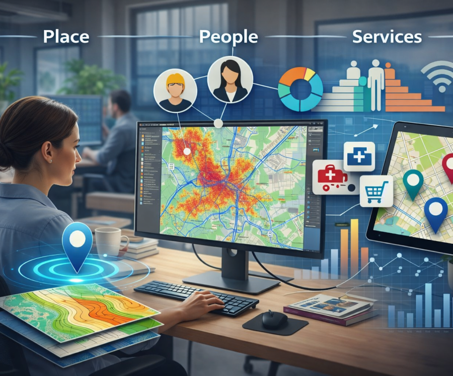
We work with community‑focused organisations that rely on understanding place, people and services.

  • Single source of truth: bring mapping, assets and titles into one reliable view.
  • Clearer decisions: reveal patterns, gaps and opportunities across neighbourhoods.
  • Confident teams: give people tools and training they actually enjoy using.
  • Lasting value: keep your GIS accurate, supported and ready to grow.
Our three core offers

Geospatial platforms and integration

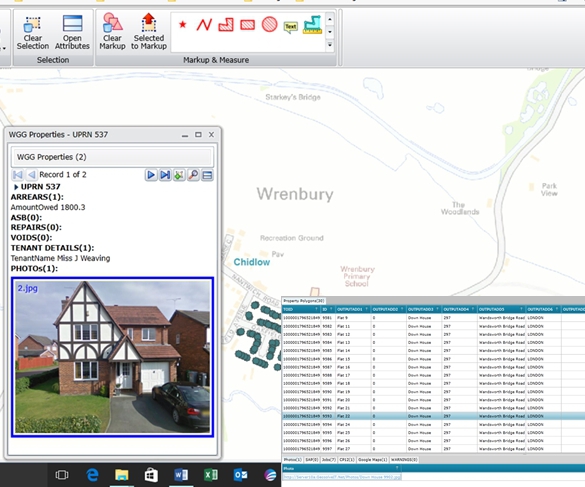
We design, deploy and support modern GIS platforms — including GeoSamba, QGIS and field‑capture tools — and integrate the datasets that matter: OS mapping, Land Registry titles, asset data and aerial imagery.


The result is a joined‑up, trusted foundation your organisation can rely on.

Insight and analysis

We turn complex geospatial data into clear, accessible insight about communities, services and estates — from coverage and demand to risk, opportunity and change over time.


The result is faster, clearer decisions grounded in evidence.

Capability and support

We build confidence across your organisation with training, guidance and ongoing support tailored to your teams, technology and ways of working.


The result is a more capable, self‑sufficient organisation that gets real value from GIS.

Our core services

These practical services bring our three core offers to life — helping your teams build a clear, joined‑up understanding of homes, health, land and communities.

GIS platform deployment

We implement modern GIS platforms — including GeoSamba, QGIS and optional field‑capture tools — giving your teams a complete ecosystem for viewing, analysing and maintaining spatial data.


A well‑designed GIS becomes the single source of truth your organisation relies on.

Data preparation and integration

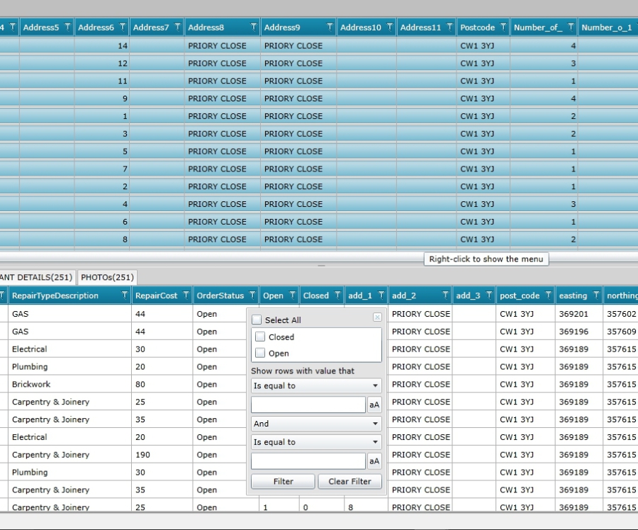
We clean, validate and enrich your datasets, bringing together Ordnance Survey mapping, Land Registry titles, asset data, aerial imagery and operational layers into one coherent, accurate foundation.


When your data aligns, decision‑making becomes faster, clearer and more confident.

Mapping data supply

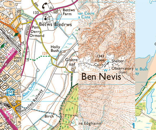
We source and supply authoritative mapping data, including the full suite of Ordnance Survey definitive base products with annual or quarterly updates.


Reliable, accurate base data underpins every good decision — giving your organisation a solid foundation for analysis, planning and operational delivery.

Custom configuration

We tailor your GIS to your organisation — from branding and print templates to Active Directory login and search tools.


A system shaped around your workflows gets used more, understood more and trusted more.

Geospatial analysis and visualisation

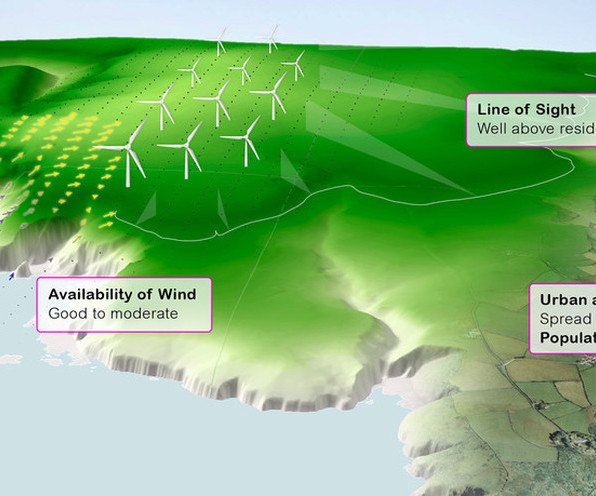
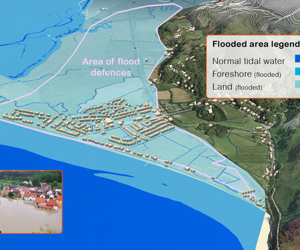
We analyse communities, neighbourhoods and service coverage to reveal patterns, gaps and opportunities.


Clear, accessible maps turn complex information into insight your teams can act on to target resources where they’ll have the greatest impact.

Training and capability building

We train your teams to confidently use, manage and grow your GIS.


When your people feel confident, your organisation becomes more capable and self‑sufficient.

How we work

We keep things straightforward, collaborative and transparent. We listen first, prototype early and stay close to your teams so the solution feels natural, not imposed.

Get more value from your PSGA investment

Your organisation may already have access to authoritative location data, mapping technology and specialist expertise.


The real opportunity is to connect these resources to operational priorities, wider services and better decisions.

Geospatial Strategy Challenges

Most local authorities, NHS organisations, housing providers and government bodies have invested in GIS technology, data and specialist capability.


Far fewer have agreed how location intelligence should support organisational priorities, guide investment and improve outcomes.

Ready to explore what's possible with WeGetGEO?

  • Discover: understand your data, systems, people and priorities.
  • Design: shape a practical, phased approach that fits your capacity.
  • Deliver: configure, test and launch with clear communication and training.
  • Support: stay alongside you as your needs and services evolve.
Print | Sitemap
© WeGetGEO Limited 2026. All rights reserved.